September 12, 2026 · Travel Diary
From the water colors of Jiuzhaigou to the waterways of Dujiangyan
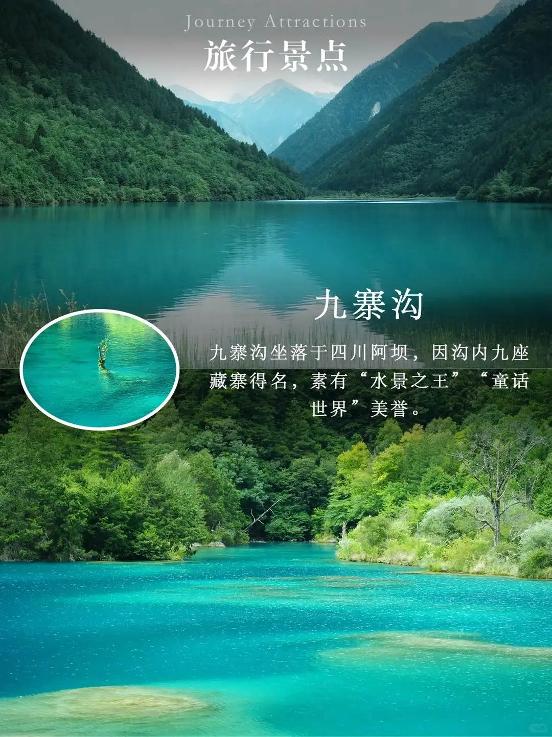
The first half of the eight-day Sichuan itinerary includes Huanglong and Jiuzhaigou, while the latter half passes through Mount Emei and Leshan, followed by the Panda Paradise and Dujiangyan. After seeing so many water scenes along the way, when you arrive at Dujiangyan, you can shift your focus to a different question: Where does the water before your eyes flow, and how do people utilize the terrain and water currents? This question shifts your attention from color to direction, setting this day apart from the natural scenic areas you’ve visited previously.
The two reference notes—one focusing on the overall scenery and the other on the engineering relationships—serve as pre-trip reading. You can start by memorizing the names “Fish Mouth,” “Feisha Weir,” and “Baopingkou,” then observe how they interconnect during your visit. There’s no need to memorize specific water diversion ratios or flow rates before you go; the actual hydrological conditions and engineering operations are far more complex than what a brief travelogue can convey, and are best understood through official explanations and professional guided tours.
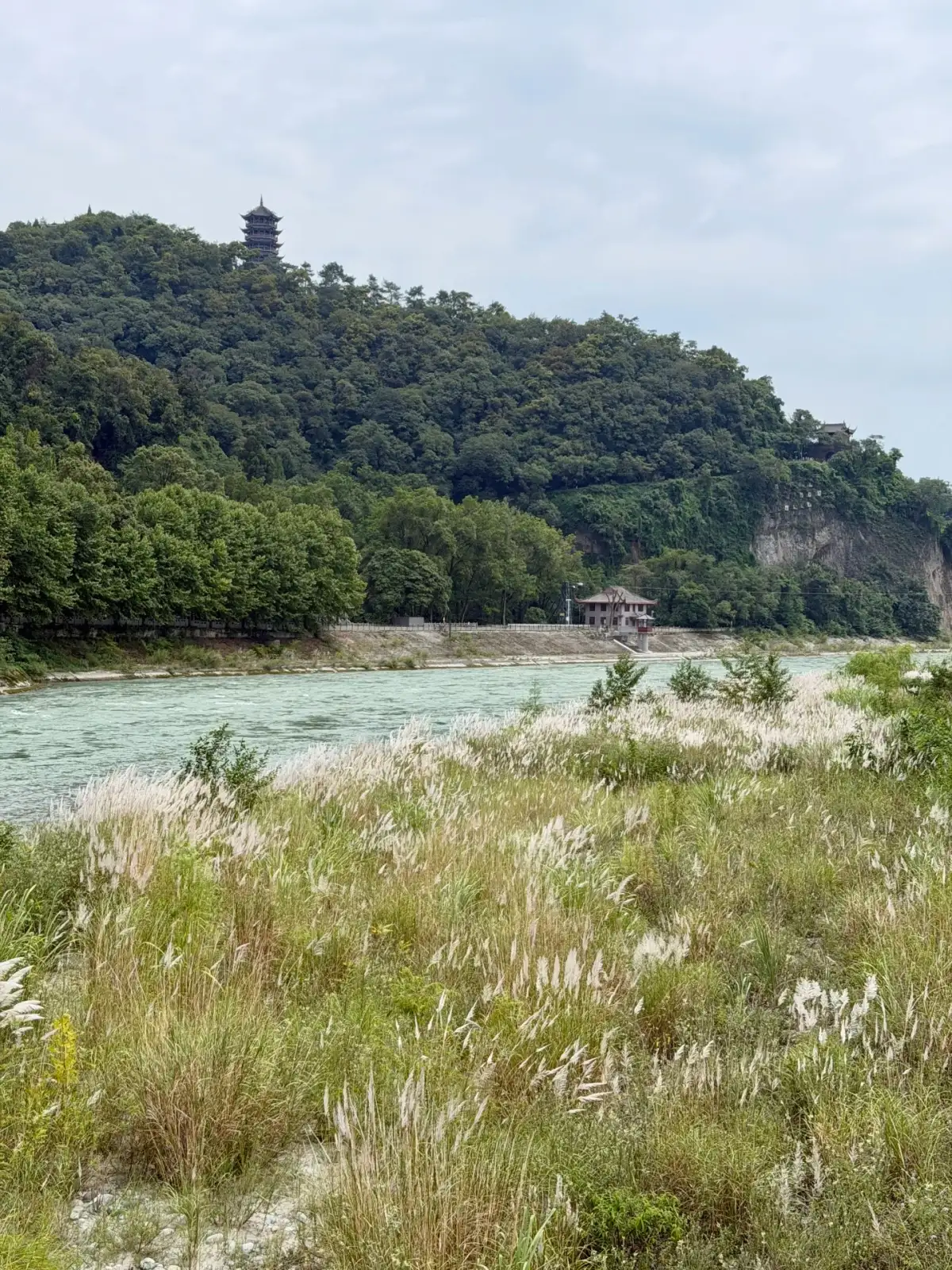
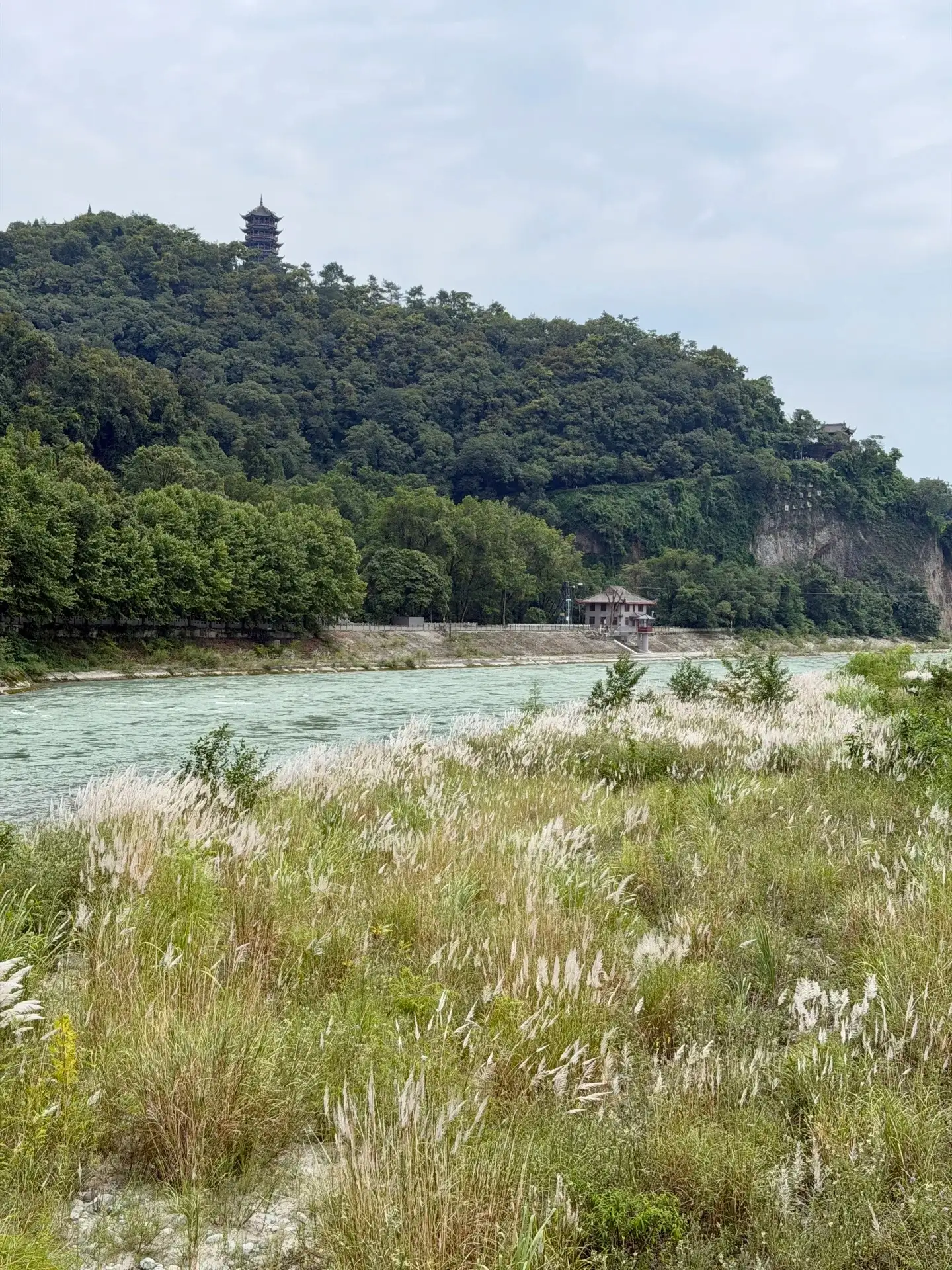
The waters of the Dujiangyan River and the vegetation along its banks.
First, take in the big picture, then locate the three named features
Before beginning your tour, take a look at the official guide map to identify the river’s direction, the locations of major engineering structures, and the walking routes. When you reach the “Fish Mouth,” focus on the spatial relationship created by the division of the water flow; as you proceed to subsequent areas, you’ll come to understand the connection between water discharge and water diversion. By placing these locations on a single, comprehensive map, the river before you will no longer appear as nothing more than a continuous stretch of similar rapids.
The same location offers different views from above and from the riverbank. From above, it’s easier to grasp the layout of the river channel, while from the riverbank, you can more clearly see the state of the water surface and the scale of the structures and shoreline. Simply choose suitable vantage points; there’s no need to pursue every possible perspective. Distinguish in advance between sections requiring an ascent and gentle walking paths, so that your companions know the approximate level of physical exertion needed for each segment.
Standing by the riverbank, frame the distant mountains as part of the engineering landscape’s backdrop
The waters of Dujiangyan do not always appear as a turbulent foreground. In the selected photos, vegetation lines the riverbank, with forested slopes in the background, while the structures occupy only a small portion of the frame. This perspective situates the hydraulic landscape within a broader context: the river channel is not an isolated structure, but is interconnected with the mountainous terrain, the shoreline, and the city’s layout.
Photos taken near Baopingkou narrow the field of view; the signs along the bank and the ripples on the water’s surface help pinpoint your vantage point. Start with an overall impression, then focus on the details—this makes it easier to visualize the names mentioned in the commentary. As you leave, take another look at the map and connect the path you’ve just walked with the direction of the water. A true understanding of a location often comes from repeatedly comparing the map with what you see on-site.
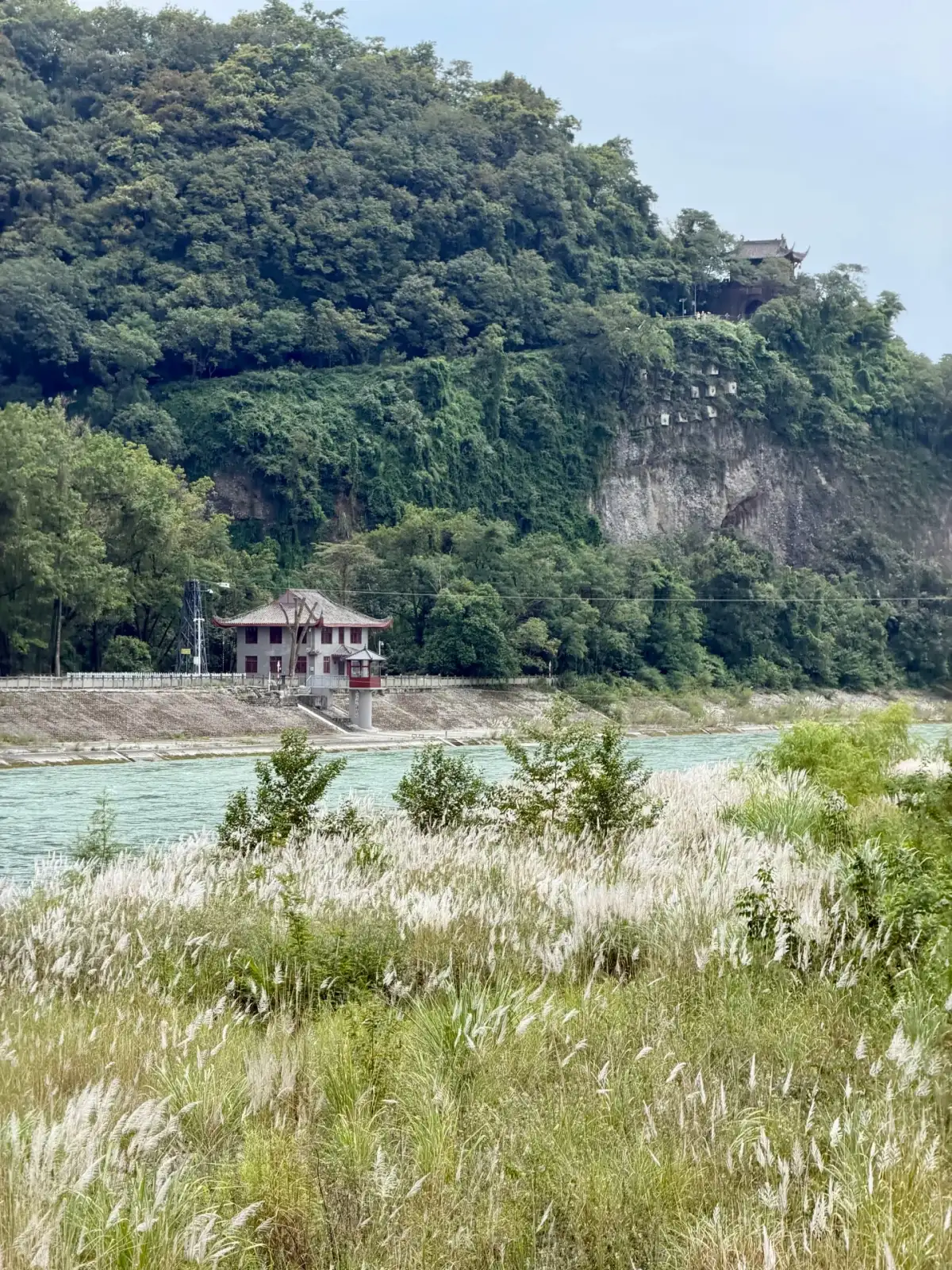
The Dujiangyan riverbank, mountains, forests, and architecture.
The most valuable moment for a guided tour is when you have a question right in front of you
If you’ve arranged for a guided tour, ask the guide to first answer a few specific questions: Which waterway leads where? Why does it turn here? How can you understand the connection between the preceding and subsequent structures from your current vantage point? Asking questions as you look leaves a stronger impression than listening to a lengthy historical explanation at the entrance and then rushing through the site. Children or visitors without an engineering background can also engage by observing where the water flows.
When taking photos, capture one shot of the entire river channel, one of the entrance or shoreline details, and one of the guide information to help you remember the location. The railings, bridges, and walkways alongside the water features serve practical purposes for visitors and should not be crossed for the sake of photography. On rainy days or when water levels fluctuate, adjust your tour route according to the scenic area’s arrangements; do not rely on reference photos to determine how far you can walk on a given day.
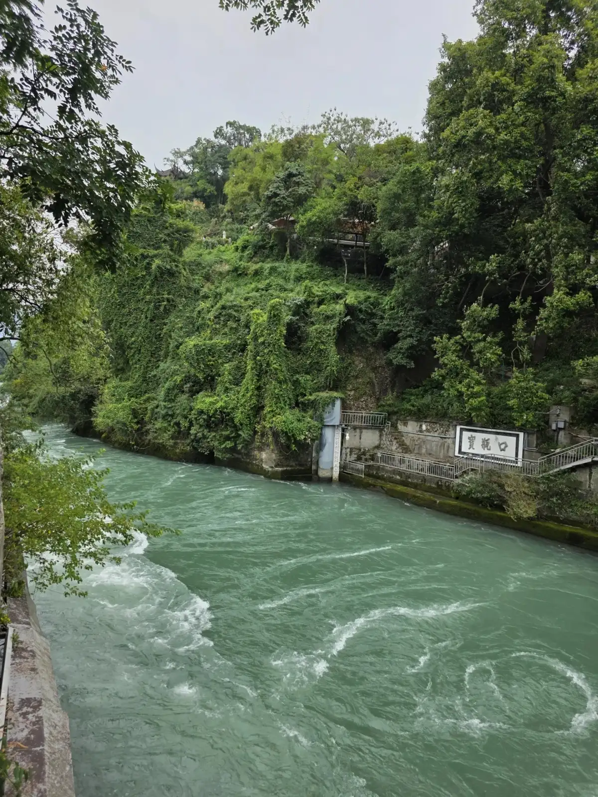
Water flow near Baopingkou in Dujiangyan.
and the Panda Trail to avoid rushing through both ends.
Current itineraries combine a visit to the Panda Paradise with Dujiangyan on the same day; the specific order and duration of each stop should be determined based on actual reservations, transportation, and the guests’ interests. If you’re more interested in the history of water conservancy, set aside a full time slot for a guided tour; if your companions are more interested in animal observation, focus on a few key highlights at Dujiangyan. Don’t let lunch become a gap that gets constantly squeezed between the two activities.
Before returning to Chengdu, try describing the waterways you’ve just seen in your own words, rather than simply memorizing a few names. It doesn’t need to be a technical lecture; as long as you can understand how the landscape connects to human use, this stop will have gained depth. An eight-day trip through Sichuan thus offers not only the appreciation of mountains and waters but also reflections on how cities and plains are nourished by water, making the journey far richer than simply collecting natural attractions.
Related Routes and Reference Sources
Sichuan 8 Days, 7 Nights · View Itinerary
Compiled by the Dongxing Travel Editorial Department based on route information and publicly available travel notes, for pre-trip reading; accompanying images serve as landscape references from the source notes. Specific itineraries will be confirmed by our consultants based on travel dates and actual conditions.