September 20, 2026 · Travel Diary
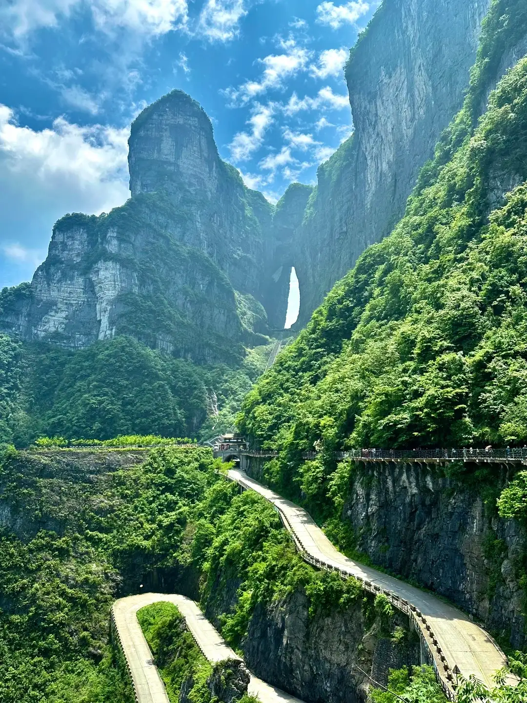
Beyond a single photo of Tianmen Cave lies the entire mountain
The six-day Zhangjiajie itinerary divides the Forest Park, Tianmen Mountain, and the Grand Canyon into separate segments, allowing for relatively independent viewing time for each type of landscape. The most memorable feature of Tianmen Mountain is Tianmen Cave, but the actual tour also involves how to ascend the mountain, the trails at the summit, and the descent route. Understanding these connections clearly will help you plan your trip better than simply saving a photo of the cave’s entrance.
Both reference notes from this trip mention cloud and fog coverage followed by changes in visibility. They indicate that you may encounter different views within the same day, but this does not mean that the weather will inevitably clear up by noon or in the afternoon. When planning this day, be prepared for changes in visibility while setting clear meeting and ending times to keep waiting times within reasonable limits.
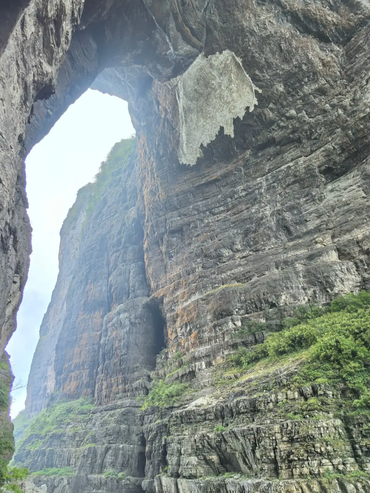
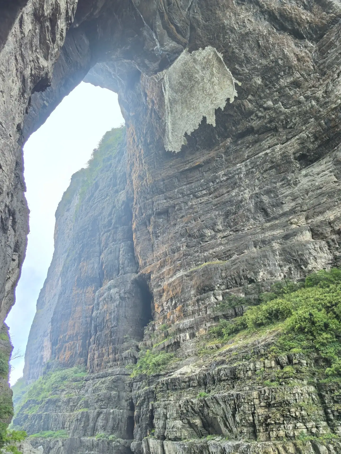
The rock face inside Tianmen Cave and the sky.
When choosing a route, first consider the connections between ascending and descending sections and the presence of stairs
The specific routes for ascending and descending should be confirmed based on actual ticketing, operational conditions, and guide arrangements; do not simply assume that a route name mentioned in an old post is the easiest option. Before setting out, you need to know: where to start, which sections require walking, where stairs may be present, and how to adjust your plans if a fellow hiker is unable to continue. The order shown in the images may not necessarily match the actual order on the ticket.
For guests unaccustomed to long-distance walking, the key is not to promise that no walking is required at all, but to clearly distinguish between necessary walking sections and optional ones in advance. Whether you want to see the cave entrance, hike the mountaintop trail, or photograph the distant mountains, you can set different priorities. Focusing on one of these as the main priority and selecting the others based on conditions usually leads to a more fulfilling experience than treating every item as a must-do.
The texture of the rock face and the faint outlines of distant mountains
In close-up views of Tianmen Cave, the horizontal striations of the rock layers contrast with the upward-soaring outline of the cave entrance, while patches of vegetation emerge from crevices in the rock face. As you get closer, the mountains are no longer just a set of outlines; you can also distinguish variations in the rock’s composition and surface texture. When there is heavy fog, these nearby details are often clearer than the distant panoramic view.
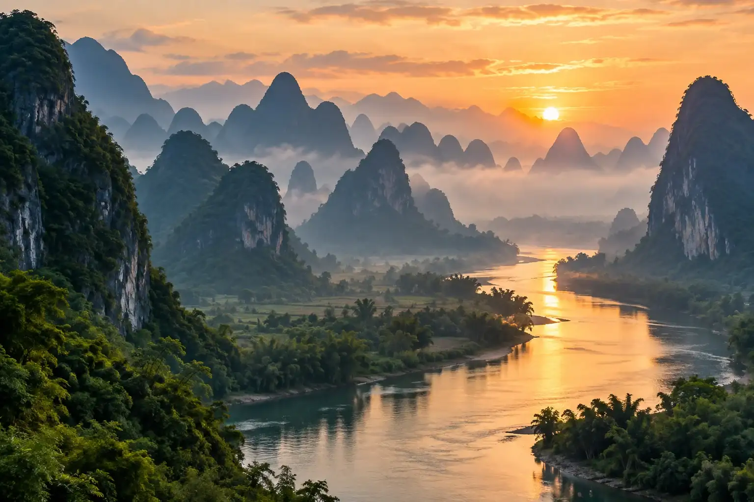
Photos of distant mountains reveal another dimension: the tree branches in the foreground are darker, while the mountain ranges in the background grow progressively lighter. Including tree branches in the frame helps indicate your vantage point and prevents the distant landscape from becoming a featureless expanse of blue-gray. A mountain hike offers opportunities to appreciate both the distant and the nearby views. Adjusting your perspective as visibility changes often provides a deeper understanding of the mountain than simply waiting for the weather to clear at a single vantage point.
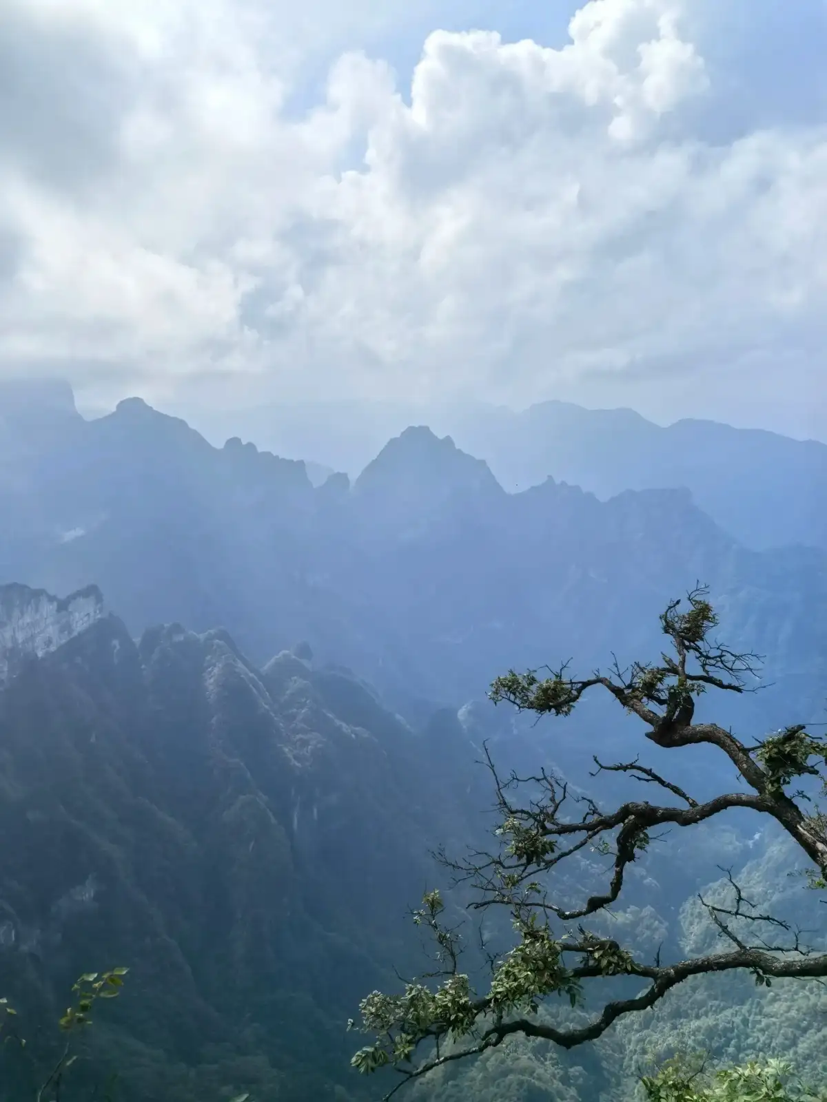
Distant mountains and nearby tree branches at Tianmen Mountain.
Look at nearby scenery in the fog, and gaze at distant mountains when the view clears.
When there is heavy fog, focus on the textures of the rock walls, the outlines of trees, and the open spaces near the path. Once visibility improves, take in how the distant mountain ranges unfold in layers. A section of the trail doesn’t lose its meaning just because the distant view is temporarily obscured, but you shouldn’t linger too long on narrow sections just to wait for the fog to clear. Weather conditions and on-site management together determine how far you can go.
Photos can capture three different scales: the cave entrance or a section of the mountain, nearby rock faces and trees, and the layered distant mountains. It’s not necessary for every photo to include all these elements at once. When near cliff-edge trails, prioritize maintaining a safe distance and unobstructed passage before considering composition; avoid stepping backward to frame a shot, and don’t let fellow hikers stand in unsafe positions just to take a group photo.
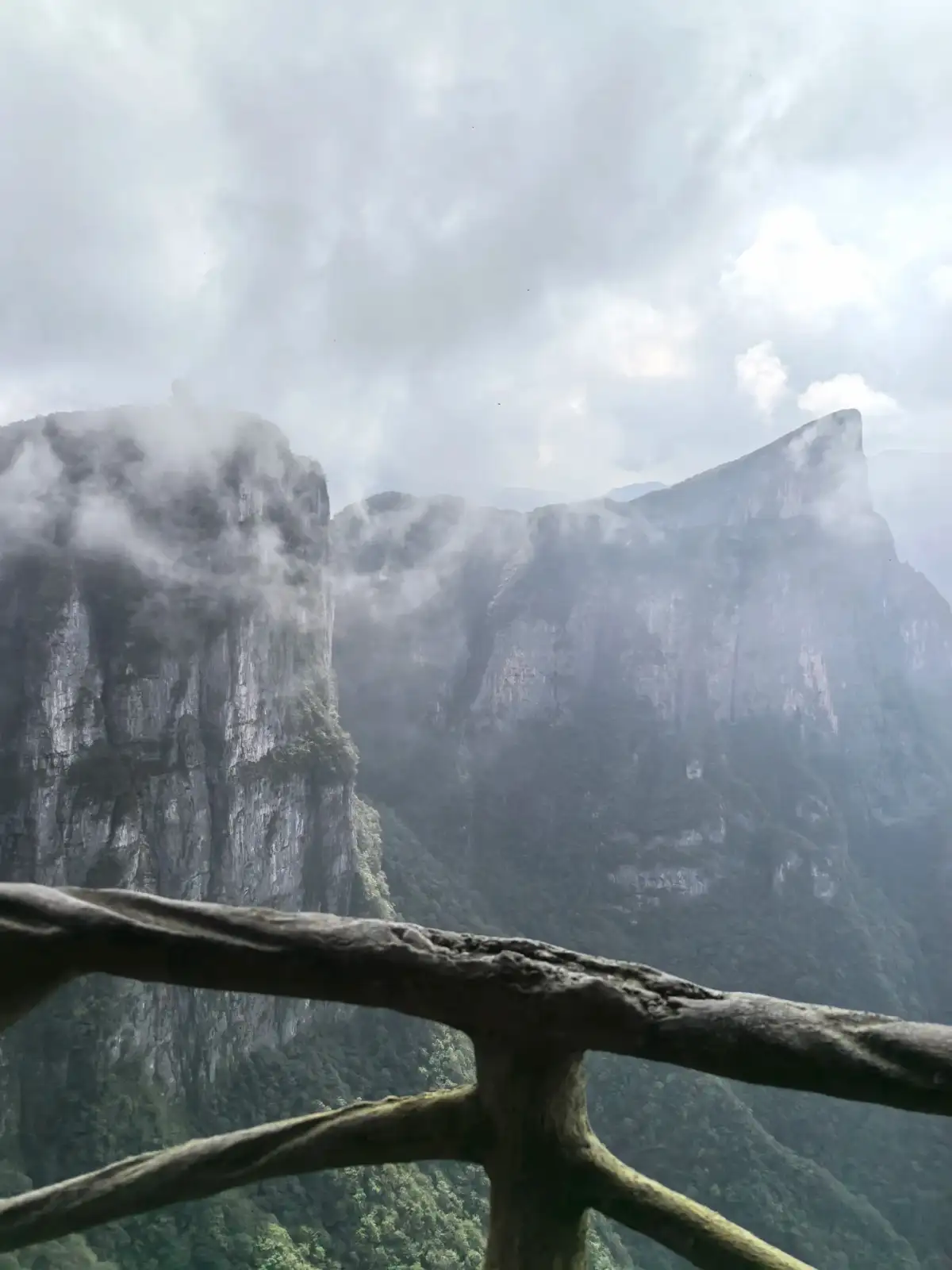
The rock face of Tianmen Mountain shrouded in mist.
At the end of the day, avoid adding any more activities of the same intensity
Check in advance for transportation, dining options, and the time needed to return to your hotel after descending the mountain. The six-day itinerary following Tianmen Mountain also includes the Grand Canyon and an optional visit to the ancient city, so there’s no need to fill all remaining free time that day with a packed evening itinerary. If you end up walking more than expected on this day, focus on dining and rest in the evening to ensure the quality of the rest of your trip.
Before leaving, take a look at two different photos: one taken when clouds and mist partially obscure the mountain, and another when the view is relatively unobstructed. Together, they provide a more complete picture of the actual conditions you’ll encounter on this trip than a single, curated panoramic shot of a clear sky. What makes Tianmen Mountain memorable is how the rocks, trails, and weather work together to shape the viewing experience—not whether you’ve recreated the most common images found online.
Related Routes and Reference Sources
Zhangjiajie 6 Days, 5 Nights · View Itinerary
Compiled by the Dongxing Travel Editorial Department based on route information and publicly available travel notes, for pre-trip reference; accompanying images are landscape references from the source notes. The specific itinerary will be confirmed by a guide based on the travel dates and actual conditions.