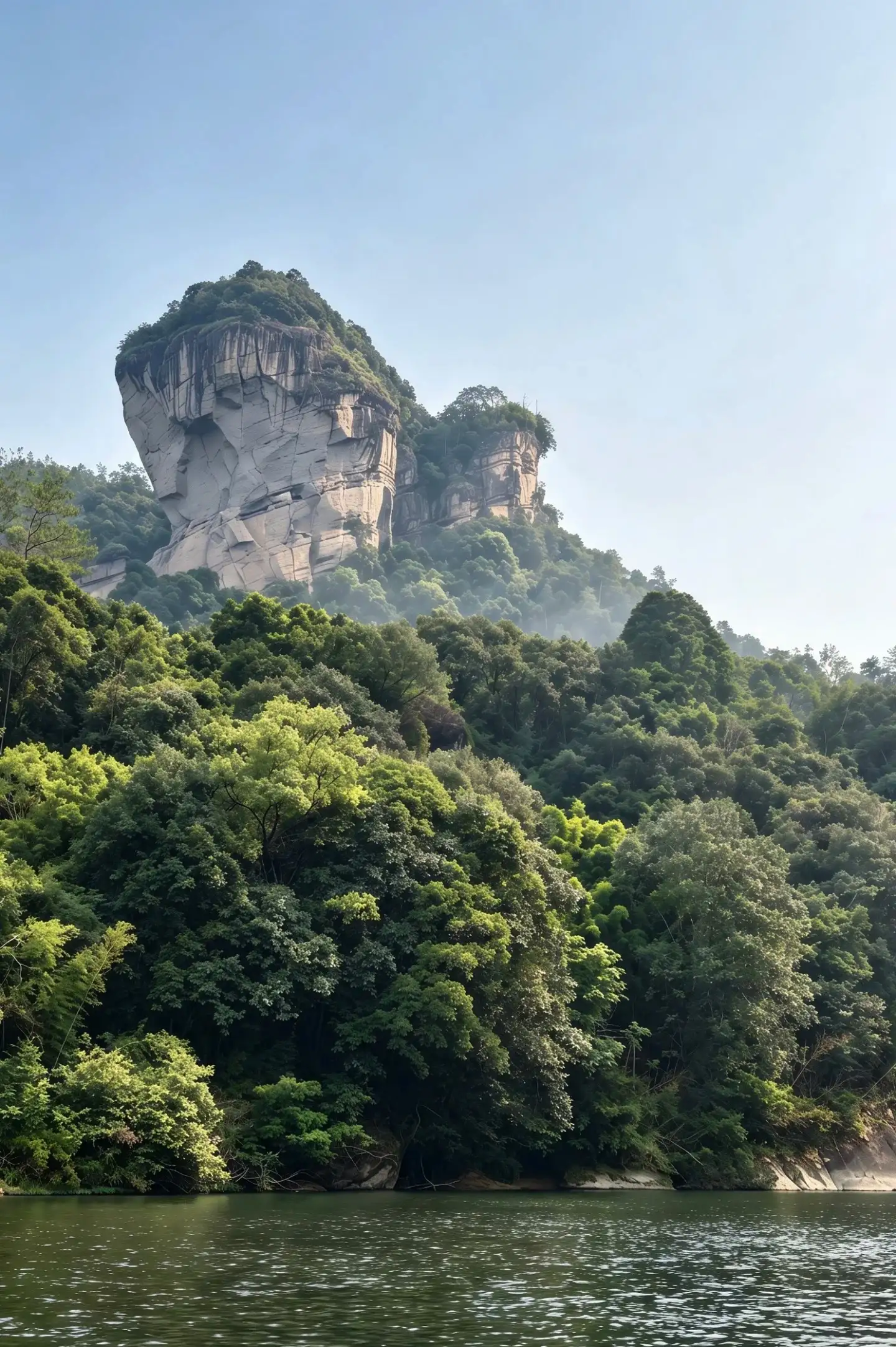
Turns of the Nine Bend River
Each bend rearranges cliff, water and trees; stop to observe rather than thinking only of an endpoint.
A deeper China. A journey of your own.
The UNESCO property includes a nature reserve, the Nine-Bend Stream area, a scenic area and the remains of an ancient Han city.
Plan my trip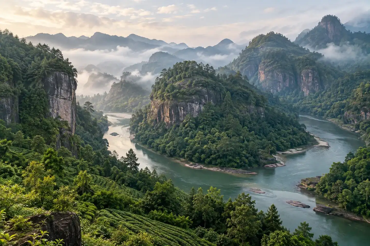
Mount Wuyi should not be reduced to a photograph from a bamboo raft on the Nine Bend River. Its World Heritage recognition also concerns southeast China's biodiversity, dramatic river gorges and the setting in which Neo-Confucian thought developed and spread. The Chengcun Han City site adds an older historical layer. Nature reserve, scenic visitor areas and cultural remains do not form one freely accessible level path; establish which part you are actually visiting.
The Nine Bend River repeatedly turns around the rock. The view of cliffs from water differs from that on a bank or hill path. If raft trips operate safely on the day, they offer a low perspective; when water level, weather or scheduling does not allow them, an open walking route can still reveal the river and its landforms. Choose one mountain path suited to your fitness and notice vegetation, Danxia rock and inscriptions without rushing between distant entrances. Those interested in tea can leave separate time for the local context of rock tea cultivation and production. Visit only places genuinely open to visitors; working tea land is not an unlimited demonstration space.
Rain changes both trail grip and river flow. Rafts, visitor transport and paths depend on the day's official notices. In heavy rain, high water or a closure, switch to an open cultural display or rest. Choose accommodation around your main entrance and evening plans rather than repeatedly crossing the district.
Each bend rearranges cliff, water and trees; stop to observe rather than thinking only of an endpoint.
The landscape was also a setting for ideas and learning, with remains and inscriptions adding a cultural layer.
Rock tea places involve real cultivation and production; respect schedules and boundaries when arranging a visit.
If a raft is available, compare its view with an open bank path. Neither is the only way to see the mountains.
Choose an open walk matched to your energy and let rock, forest and valley unfold gradually.
Use accessible interpretation to understand learning, inscriptions and local tea history instead of leaving them as vague labels.
Choose a main thread—walking landscape, water-level views or cultural heritage—then combine activities around actual conditions.
Observe bends and rock from accessible water edges; add a raft only if it is safely operating.
Walk one suitable route, then visit a genuinely open cultural or tea interpretation space.
Base your stay on the visitor zone and transport you intend to use. Two measured outings allow more room for both landscape and culture than one rushed circuit.
The heritage property is broad; scenic, protected and archaeological areas have different access rules.
Trips depend on weather, water level and operation. Recheck close to arrival and on the day.
Slippery paths and rising water require caution; follow closures and safety directions.
Yes. Paths, cliffs, biodiversity and cultural remains offer different experiences; a raft is only one possible angle.
Do not assume so. Check entrances, local transport and open zones before selecting the day's focus.

Start with your interests, available time and the right combination of places.

Plan by region and interest, rather than choosing one season for the whole country.

Meet local life with curiosity, consideration and an open mind.
YOUR JOURNEY
Share the places and timing you have in mind, then discuss a suitable route with a guide or travel adviser. Services and availability need confirmation.
Contact a guide about this place
FROM INSPIRATION TO YOUR JOURNEY
A place you dream of. A journey shaped around you.
Plan my trip