A cable car ticket can take you up the mountain, but it doesn’t answer the question of “Will this be a tiring day?” What truly determines the experience includes the walk from the cable car station to the viewpoint, continuous staircases, the time spent standing in line, and how you’ll return after taking in the scenery. Both Huangshan and Tianmen Mountain offer modern transportation options for mountain sightseeing, but the amount of walking and the psychological impact of specific routes still need to be assessed on a case-by-case basis. Before making a choice, first list the activities your travel companions can handle, then determine which mountain is better suited for this vacation.
Be more specific about why you “don’t want to hike”
There may be several reasons for not liking to hike: continuous uphill climbing can be exhausting, descending stairs can strain the knees, standing at high altitudes can cause anxiety, or you may simply want to save time for other activities. These reasons require different arrangements. For the first reason, focus on the slope and rest breaks; for the second, consider the return route; and for those with a fear of heights, check the views along the trail and the design of the facilities. Fellow hikers should clarify their limitations in advance and avoid assuming that the presence of a cable car means everyone agrees to the hike.
When inquiring about the route before departure, request a map showing entrances and exits, cable car stations, walking sections, rest stops, and return options. Simply asking, “Can elderly people go?” rarely yields a useful answer, as an older person’s capabilities aren’t automatically determined by age. It’s more helpful to specify how far they can walk continuously, whether they can handle a flight of stairs, and if they need to sit down frequently. Verify specific facility details with the scenic area or host organization; when physical condition is involved, please follow professional advice tailored to the individual. This article does not provide medical assessments of suitability.
Mount Huangshan: To see a range of peaks, you’ll need to accept the need to move from one point to another
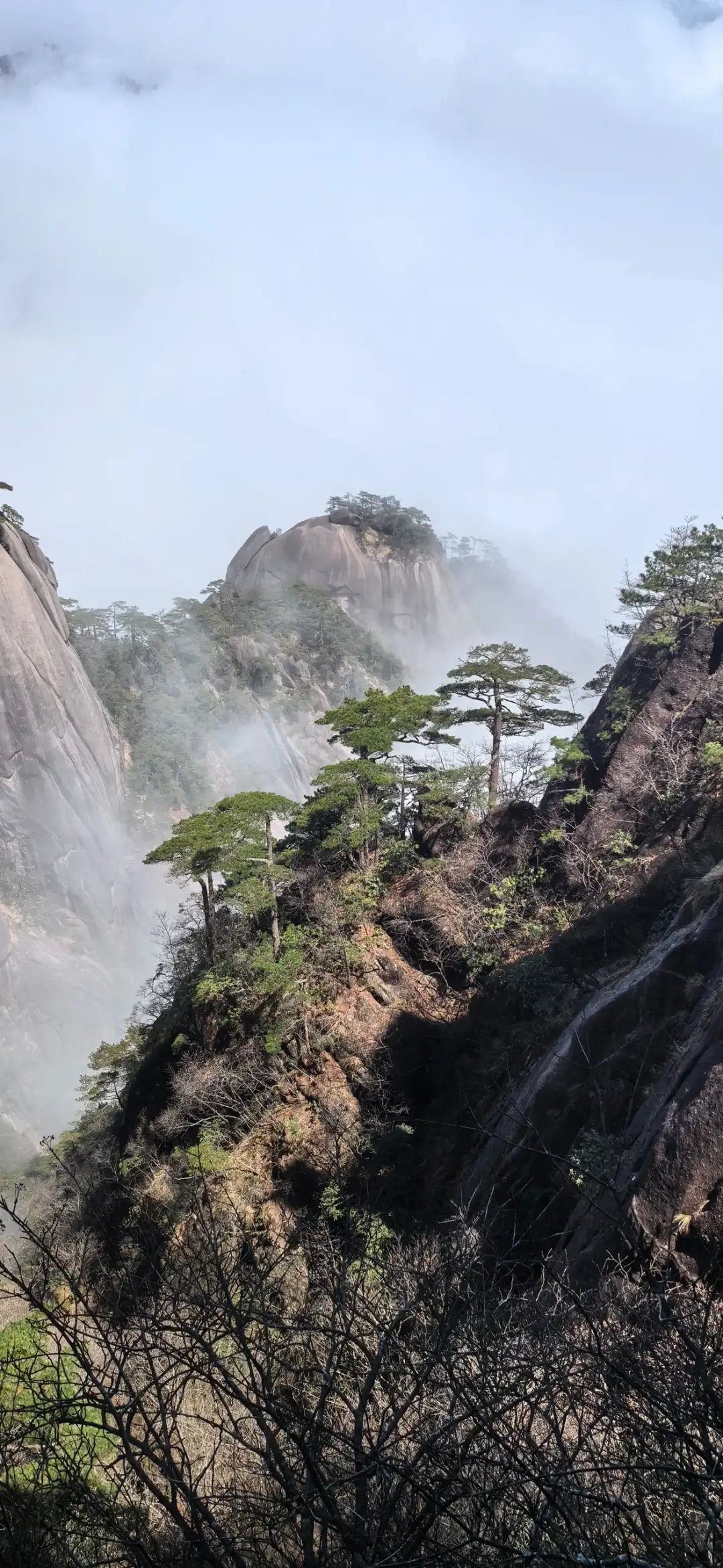
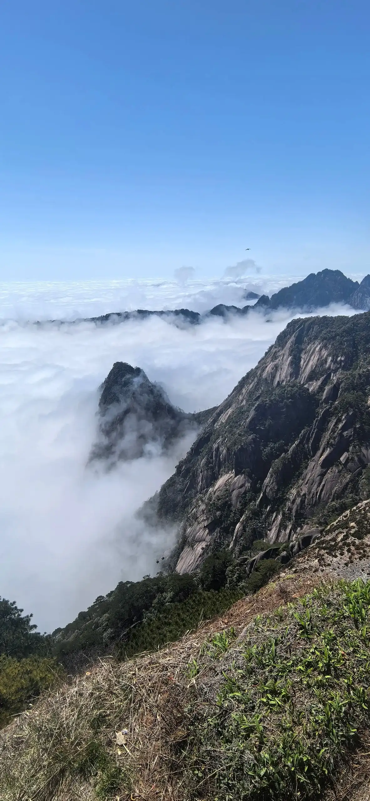
Pine trees and mist beside the steep cliffs of Mount Huang. Photo:Travel · Original Post.
Huangshan is best suited for experiencing its rocky peaks, pine trees, and mountain trails as a continuous series of sights. ItsOfficial Travel InformationThe suggested itineraries listed include cable cars and multiple walking segments, indicating that transportation and hiking on the mountain need to be coordinated. These itineraries remind travelers that the ascent, sightseeing on the mountain, and descent should each be factored into a single day’s schedule. Actual plans should be based on the latest announcements from the scenic area.
If you enjoy changing perspectives along the way, your Huangshan itinerary can center around several viewing points that are within a reasonable distance of each other. Start at a cable car station you can actually reach, complete a short section nearby, assess your stamina and the weather, and then decide whether to proceed to the next spot. The elevation differences between viewing points can make even short distances on the map feel strenuous, so be sure to check the terrain. Unconfirmed trail junctions or closed-off areas should not be included in your plan, and even routes you’ve saved before setting out should be adjusted based on on-site guidance.
小红书作者週遊的Huangshan Photo NotesPhotos are documented based on the date of a specific shoot and the theme of the mountain scenery, with very brief captions. They serve as proof that the author has published a photographic record of Huangshan, but do not serve as evidence of the full day’s journey, physical demands, or weather patterns. The images focus on the peaks and viewing angles, making them suitable for selecting the subjects readers are most interested in. The photos help readers visualize the scenes they hope to see, but evidence of the route should still come from the scenic area and actual transportation data.
Is spending just one day at Huangshan not worth it? Even in a single day, you can choose a specific theme within a defined area, but you’ll need to accept that you won’t be able to see every section. First, plan your ascent, descent, and return transportation, then allocate the viewing time in between. Staying overnight on the mountain may allow for more flexibility in your itinerary, but it also introduces logistical challenges such as securing accommodations, managing luggage, and dealing with weather conditions—so don’t simply extend your stay based on the notion that “one more night would be better.” Whether you’re looking for a few nearby mountain views or a sunrise hike that spans multiple areas, make your preferences clear before booking.
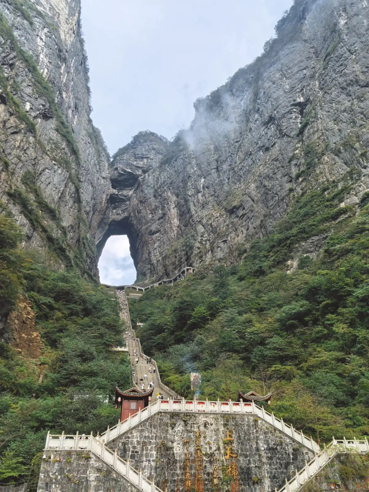
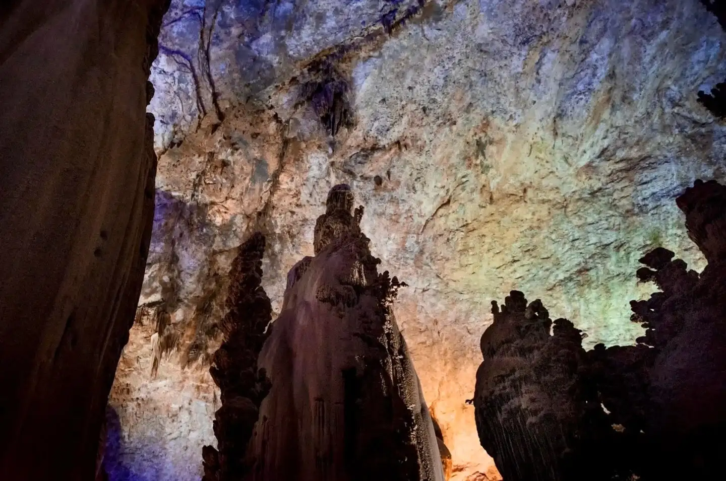
Tianmen Cave and the long stone staircase leading to its entrance. Photo:Y · Original Post.
Tianmen Mountain: First, get a sense of the scale; then, identify the best viewing spots
Hunan Provincial Forestry BureauIntroduction to Tianmen Mountain National Forest ParkThe description covers cable cars, mountain trails, and karst landscapes. These features allow the view to gradually shift from the city to the mountains; the panoramic views from the cable car and the close-up scenery along the trails can be planned separately. The sense of space provided by cable cars and high-altitude trails may be a major draw for some travelers, but it could also be an experience that others in your group are unwilling to accept—so it’s important to discuss this beforehand.
Can someone with a fear of heights just visit Tianmen Cave? First, inquire about the currently available ticket options and how the routes are organized, then assess whether there are still sections along the way that might cause discomfort. Just because you have a single destination doesn’t mean you can assume you’ll be able to avoid all high-altitude transportation or trails. When inquiring with the scenic area, be specific about what triggers your discomfort: is it transparent flooring, cliff-side views, prolonged cable car rides, or narrow sections of the trail? Routes described in promotional materials as “easy” or “thrilling” can mean completely different things to different people.
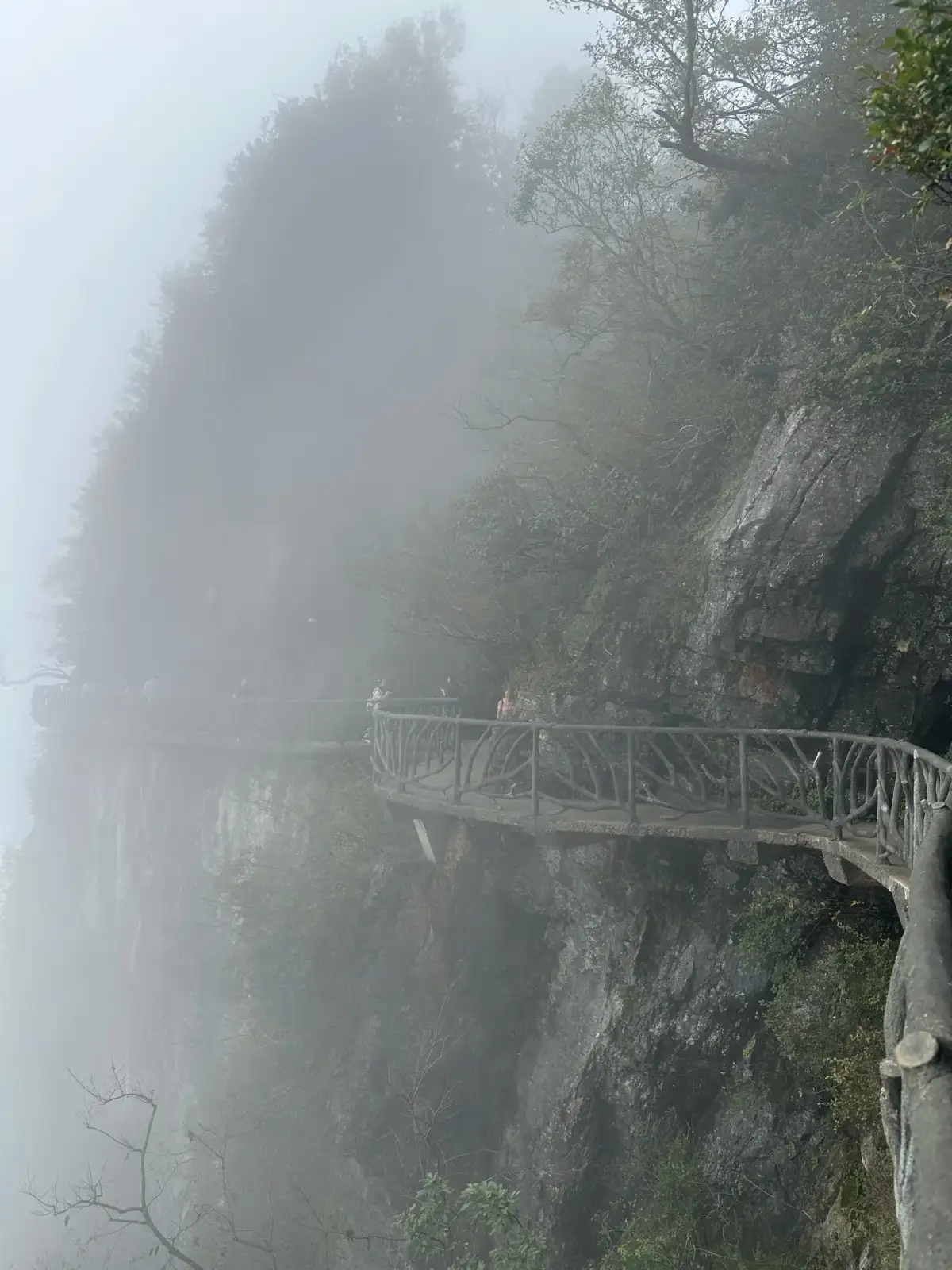
The cliffside boardwalk and forest on the rock face of Tianmen Mountain. Photo:Zhegui Fushanhe · Original Post.
If travel companions have different preferences, you can discuss choosing different short sections within permitted limits and then meeting up at a clearly designated meeting point. The meeting point must have a full name and a plan for the return trip; you can’t just say, “Meet at the cave entrance.” When traveling with children, you should also consider who will be responsible for watching them, whether cell phones have enough battery life, and how to stay in touch when there’s no cell service. All groupings are subject to the actual routes permitted by the scenic area and valid ticket types; this article does not guarantee that there will be an alternative route suitable for everyone.
If fog rolls in, make sure your plans for both mountains include an alternative route.
小红书作者Y在Tianmen Mountain Recordmentions that fog caused Tianmen Cave to appear later; the author’s journey to the mountains and rivers—Another EntryThey also describe differences in visibility between the morning and afternoon of the same day. These two personal accounts support a limited conclusion: visibility on the mountain may vary. They do not prove that the weather will definitely clear up in the afternoon, nor can they be used to determine the optimal time for a future trip. Before deciding to wait, check how much time you have left before heading back, then decide whether to view nearby scenery or continue waiting for the distant view.
whether waiting a while would be helpful, taking into account real-time weather conditions, the time remaining for the return trip, and the current location. If there is only light fog, you can observe the relationship between nearby trees, rock faces, and the trail from a designated viewing spot; if safety alerts regarding thunderstorms, strong winds, or other hazards are issued, the itinerary should comply with the scenic area’s operational and evacuation procedures. The waiting area should also leave a clear passageway. Photographers should not block narrow trails in anticipation of a sea of clouds that appears to be approaching, and fellow hikers certainly do not need to stand in the cold wind just to take a reference photo.
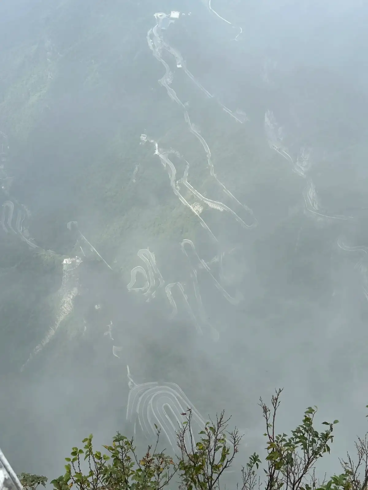
The winding mountain road on Tianmen Mountain shrouded in mist. Photo:Zhegui Fushanhe · Original Post.
How should you handle “not seeing it this time” on a nature trail? First, establish two tiers for your itinerary: what you most want to see, and what you’re still willing to see if the primary attraction isn’t visible. At Huangshan, you can focus on the details of nearby pine branches and rock peaks; at Tianmen Mountain, you can focus on the terrain and vegetation within permitted areas—provided the route remains open, safe, and accessible. If neither option meets your expectations, you can postpone your mountain trip or opt for a stay in the city instead. Be sure to review the flexible terms for transportation and accommodations in advance; don’t assume that changes come at no cost.
To make a complete comparison, you need to consider both mountains within the context of the entire trip. Huangshan is in Anhui, while Tianmen Mountain is in Zhangjiajie, Hunan—they are not adjacent attractions where you simply choose one over the other. Travelers who have already planned a trip to the Jiangnan region should factor in the additional travel time required to include Huangshan; those already staying in Zhangjiajie should consider whether visiting Tianmen Mountain would overlap with other mountain activities and drain their energy. The distance between cities on a map is not enough to indicate how convenient the connection is; only by checking actual bus schedules and post-arrival transportation options can you determine how much time you’ll need to add for an extra mountain.
This SiteIntroduction to HuangshanandIntroduction to Tianmen MountainThis can help determine the focus of the trip. The information you ultimately provide to a travel advisor or fellow travelers should include preferred mountain scenery, acceptable walking distances, any fear of heights, the total number of days, and return travel constraints. Once you receive a specific itinerary, review each segment of transportation and walking. Only then can the selected hiking days ensure that the scenery and your physical capabilities are well-matched, rather than creating unrealistic expectations based on the notion that “taking the cable car makes it easy.”
Source and Editorial Notes
This article is an original travel analysis compiled by the Dongxing Travel editorial team based on the information provided; it is not a firsthand account by the author. The full text of the original post has not been reproduced; accompanying images are used within the scope of authorization and are credited to the author and the source of the original post. They do not serve as proof of actual travel experiences or services provided by Dongxing Travel.
Travel · Full-screen photos taken at “Mount Huang” (straight from the camera) · Travel Notes; Verified/Compiled on: October 3, 2026.
Y · Finally Arrived at Tianmen Mountain · Travel Notes; Verified/Compiled on: October 3, 2026.
Zhegui Fu Shanhe · Tianmen Mountain: Parting the Clouds to Reveal the Dawn · Travel Notes; Verified/Compiled on: October 3, 2026.
Huangshan Tourism Official Platform · Frequently Asked Questions About the Huangshan Scenic Area · Official Materials; Verified/Compiled on: October 3, 2026.
Hunan Provincial Forestry Bureau · Tianmen Mountain National Forest Park · Official Materials; Verified/Compiled on: October 3, 2026.