Dongxing Travel Editorial Department · Travel Diaries and Pre-trip Reading
Determine the starting point first; only then does the loop trail make sense
A day on Mount Sanqing should be planned starting with the shuttle service from the base. Different cable car entrances correspond to different access roads and connection points on the mountain; names such as Jinsha and Waishuangxi need to be specified when booking transportation, accommodations, and tickets. Don’t just tell the driver you’re going to Mount Sanqing, and don’t blindly follow others who are descending via a different cable car station. Where your vehicle will park and whether you can be picked up after descending all depend on your chosen route. For first-time visitors, focus on the rock peaks at Nanqingyuan; if you have enough energy and the weather is stable, consider adding the open trails along the West Coast or Sunshine Coast. Before heading up the mountain, review the day’s guide map to confirm cable car operations, closed sections, and any necessary reservations. Also, clarify before departure how to register with a foreign ID and whether tickets and cable car passes must be purchased separately. This approach allows for a streamlined main hiking route rather than attempting to connect every trail on the map. The loop trails on the mountain involve ascents, descents, and traverses; while the cable car saves you some elevation gain, it doesn’t eliminate the rest of the physical exertion required.
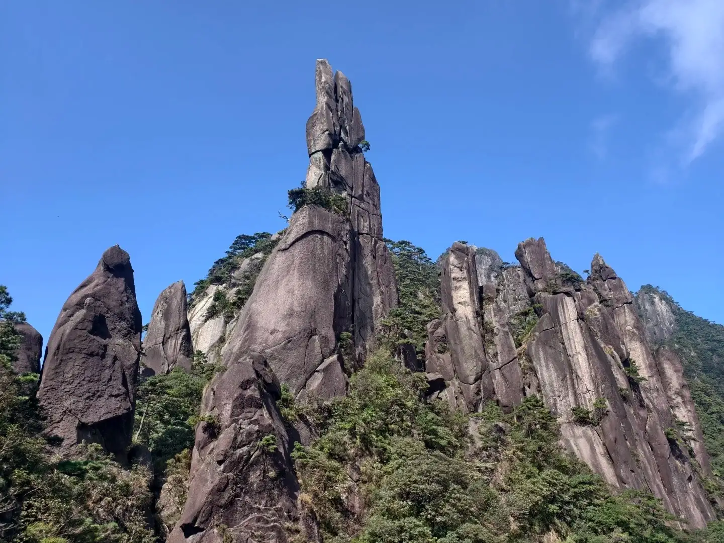
Granite pinnacles of Mount Sanqing.
Understand the rocks first, then give them names
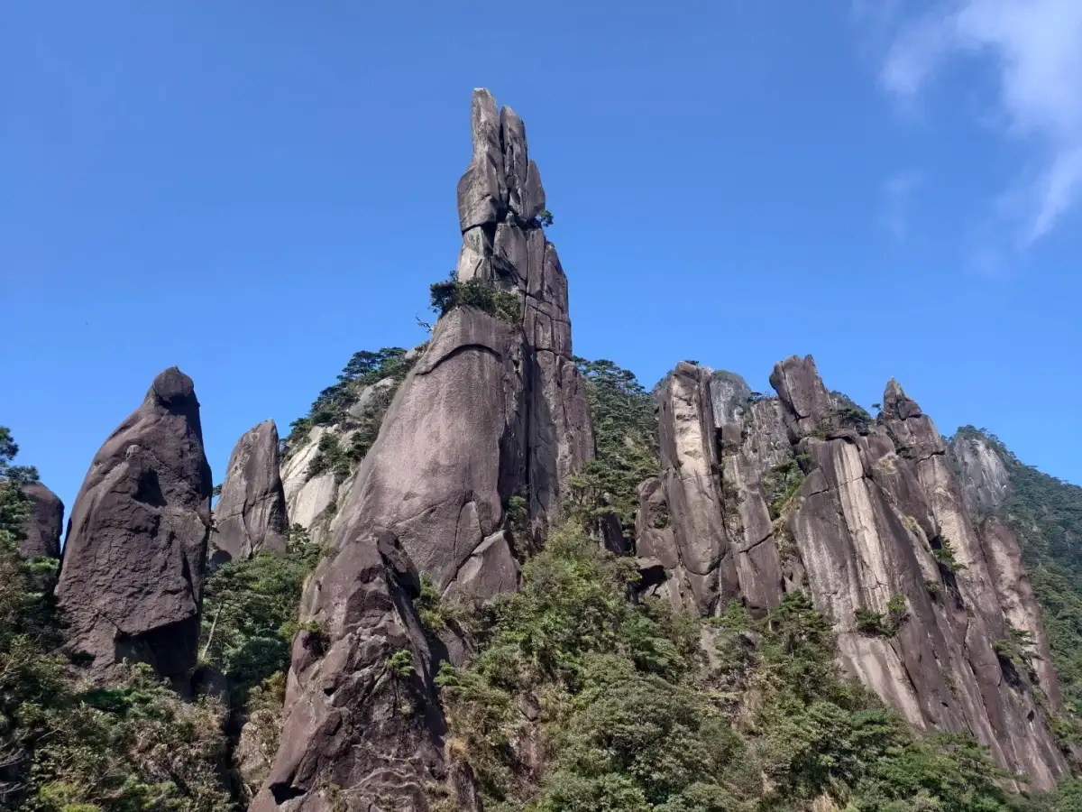
UNESCO’s description of Mount Sanqing groups the granite peaks, forests, and ever-changing clouds and mist together. Once on the mountain, you can follow this line of thought in your observations: while the shapes of the stone peaks are striking, the vegetation prevents them from appearing as isolated rock formations. The crevices in the rock faces, protruding boulders, and pine trees clinging to the edges are best viewed up close from a safe vantage point. Start by finding a peak with a distinct outline, observe how it rises from the slope, and then compare it to the clusters of peaks nearby. Familiarity with the names of the scenic spots is certainly helpful, but don’t rush to match every rock to the image of an animal or a person. Viewed from different angles, the same peak may appear narrower, thicker, or overlap with the background—these changes in form are worth pausing to appreciate. On clear days, you can make out distant ridges, while foggy days bring nearby textures into sharp focus. Photos can capture different viewing distances, and your eyes also need a few minutes to adjust from the rapid movement of the cable car to the pace of walking.
Nanqing Garden: Allocate Your Time Among Several Viewing Spots
Plan your main route around Nanqingyuan. Use iconic rock formations like “The Giant Python Emerging from the Mountain” and “The Goddess of the East” as landmarks, then connect them according to the day’s open trails. It’s best to spend time at each one separately; there’s no need to use up all your photo time at the first stop. When it’s crowded, proceed along the path first and stop only once you reach a designated viewing platform; pausing on narrow steps can easily obstruct two-way traffic. After viewing a peak, walk a short distance and look back—you’ll often discover a side view you didn’t notice before. If anyone in your group is sensitive to steep slopes, first identify sections with concentrated ascents on the guide map and ask if there are more suitable routes to connect them. Don’t judge the difficulty solely by the number of steps recorded on your phone; step height, continuous ascent, and the distance required to detour have a greater impact on how strenuous the hike feels. You can structure your route around two or three key spots—there’s no need to capture every named location in your photo album. Set aside time for drinking water, changing clothes, and resting; only then will your visit to Nanqingyuan evolve from a series of photo stops into a deeper understanding of the granite landscape.
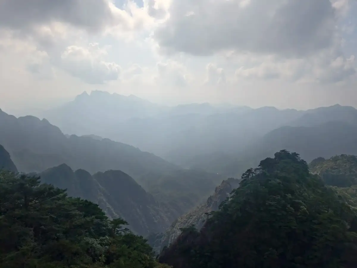
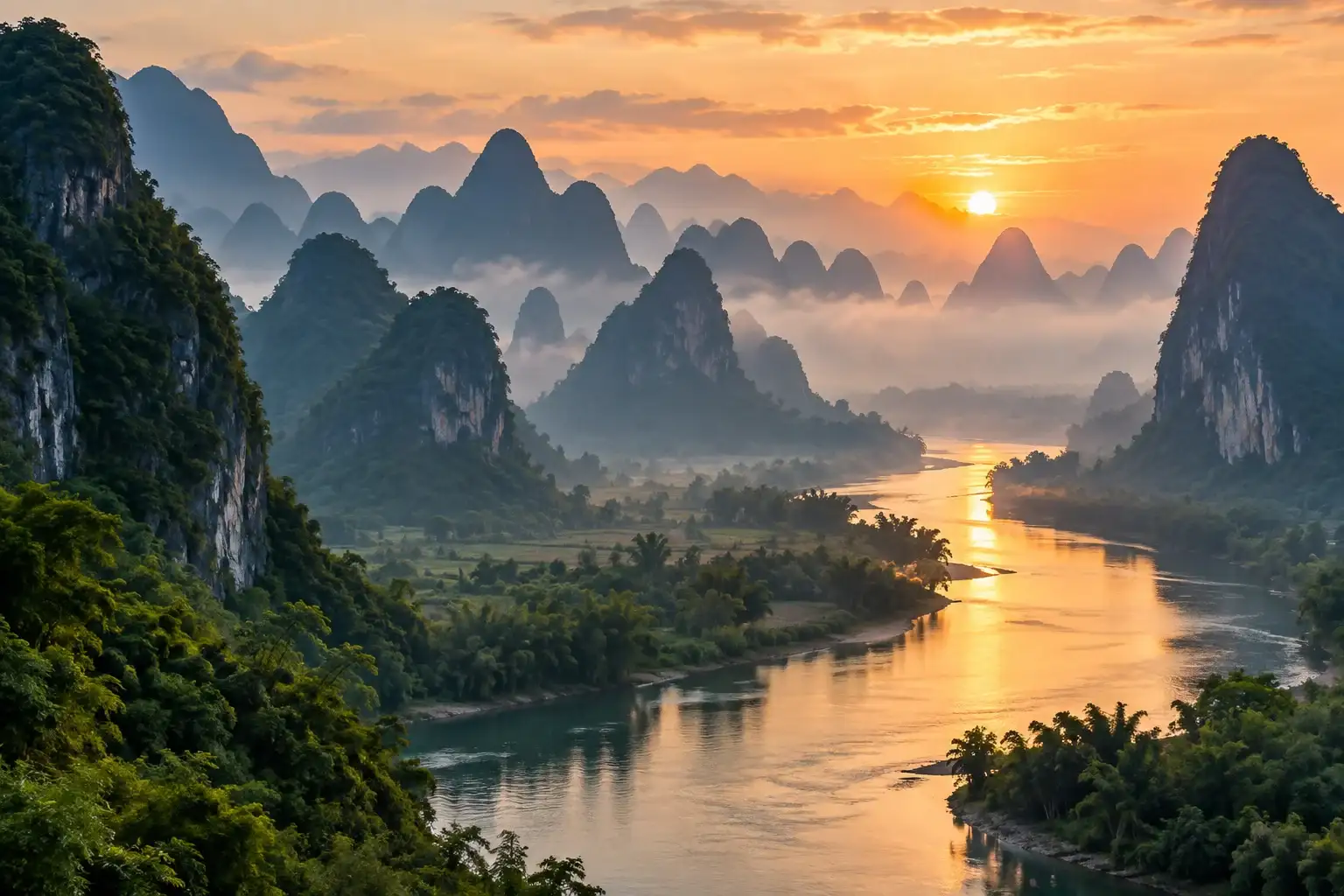
Distant mountains and clouds at Mount Sanqing.
A trail is not just a path; it’s also a way of seeing the world
Coast and Sunshine Coast—which might evoke images of gentle strolls—but before making a choice, be sure to check trail connections, the number of steps, and the return distance. Sanqing Mountain’s suspended walkways allow you to move along the side of the mountain, taking in both the nearby rock faces and distant valleys at the same time. When walking these trails, shift your focus from the famous rock peaks to the relationships between the mountain features: which sides are continuous slopes, which drop off abruptly, and how distant mountains are obscured by nearby pine branches. Only stop on wider platforms; when taking photos, do not step back into the middle of the path, and do not lean over the railings. For visitors with a fear of heights, first assess the trail conditions near the entrance and your own reaction; shorten this section of the hike if necessary. If you wish to explore longer sections of the boardwalk, make that decision in the afternoon while you still have energy to spare—do not wait until just before the cable car stops running to venture farther out. Although moving along the cliff doesn’t seem to involve continuous climbing, your body will still tire, and you may need to climb stairs again when returning to the connecting point. Treat it as a segment with a clear beginning and end, and only then can you relax and enjoy the varying depths of the valley below.
Make a Real Choice Midway Through the Loop
At the trail junctions on Mount Sanqing, it’s best to pause and reassess your route rather than simply checking whether you’ve taken a wrong turn. When you reach the junction connecting Nanqingyuan with other tourist areas, consider the time elapsed, the weather, and your companions’ stamina before deciding whether to continue further or turn back. The time you set aside for the descent should include the walk to the cable car station and waiting in line; especially when it’s crowded, arriving at the station doesn’t mean you’ll board immediately. Even “short routes” on the map may involve steep, dense staircases—ask staff about trail conditions first; this is more reliable than estimating based on straight-line distance. If you encounter peak-season traffic diversion or one-way traffic, follow on-site directions and do not go against the flow of people to search for a route you remember. If you need to look after someone who walks slowly, agree to meet at a fork in the trail; do not split the group across different cable car directions. Capturing two distinct mountain vistas in a single day is already a rich experience—such as nearby rocky peaks and open valleys. Saving another coastal trail for your next visit is a better way to savor the journey than rushing to complete the loop when you’re tired.
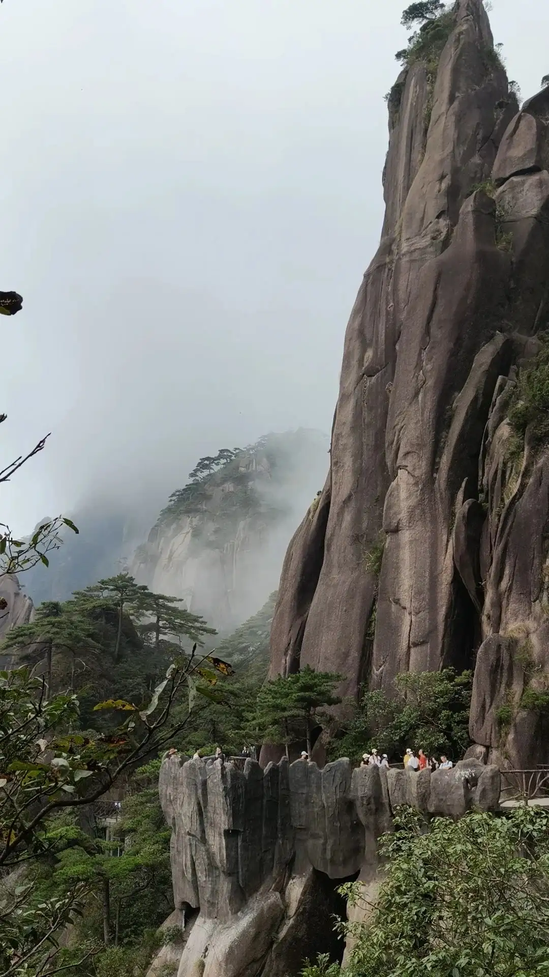
Rock faces and suspended walkways on Mount Sanqing.
Fog is not simply bad weather
—where the distant peaks may temporarily vanish, while nearby pine trees and rock faces become more distinct. When visibility is decent and trails are open, you can shorten your route and focus your attention on a single peak or a stretch of trail along the forest edge. Stand on the viewing platform and wait a moment; as the mist shifts, the exposed sections will change, but don’t let waiting turn into a plan to stay until the sky clears. Thick fog, rain, and strong winds can make hiking more hazardous, so check staff announcements and daily weather alerts first; if a thunderstorm approaches, follow the scenic area’s instructions to leave exposed areas. Even if you don’t see the entire summit, you can still observe the colors of the rock faces, the plants growing in the crevices, and the layers of mist as it drifts through the forest. Wear shoes with good traction, bring a compact raincoat, and stow your phone away before descending wet steps—this is safer than trying to take photos while rushing along the trail. Both sea of clouds and sunrises depend on weather conditions; you shouldn’t pin the success of your day’s trip on them. Simply explore as trail conditions allow on that particular day—this is all part of the mountain hiking experience.
Incorporate meals and staying warm into your itinerary
Prepare your hiking supplies in advance. Keep water and easy-to-eat snacks within easy reach; don’t wait until you’re exhausted to search for the next shop. Operating hours and line lengths may vary along the way, so having basic supplies before you set out allows you to plan meals at suitable rest stops. Do not spread out your lunch on narrow steps or near viewing railings; pack trash back into your bag and take it to designated collection points. As you ascend, your body will warm up, but stopping on a windy platform can cause you to cool down quickly; layering lightweight clothing is more convenient for temperature adjustments than wearing a single outfit based solely on the temperature at the base of the mountain. If you encounter wildlife such as squirrels, keep your distance, secure your food, and do not entice them to approach for a close-up photo. Your backpack doesn’t need to be packed as if for a multi-day camping trip, but it’s worth carrying rain gear, a warm layer, and a little extra drinking water. If there are significant differences in stamina among your companions, use lunch as a time to rest together and discuss the route for the second half of the hike. Decisions made after eating well, resting comfortably, and staying hydrated are often more accurate than those made while consulting a map on an empty stomach.
The descent is the final leg of the loop trail
When deciding to return, first confirm whether you’re heading to the cable car station corresponding to your original entrance or to another station you’ve arranged in advance. Driving around the base of Mount Sanqing takes time, and taking a different cable car down may alter the direction of your transportation or accommodations, so you must coordinate with your driver or travel companions. Don’t assume you can arbitrarily shorten your hike just because the remaining section is all downhill; when you’re tired, your knees and concentration require a slower pace. After descending, find a place to sit down, organize your photos, and reflect on how much time you spent on the rock peaks and the boardwalks, respectively. If you’re staying at the base of the mountain, set aside the evening for rest rather than immediately catching a long-distance overnight bus. If you need to catch a bus, plan your ascent route by working backward from your return departure time—it’s better to skip one hiking trail than to rush. The richness of Mount Sanqing lies in the ability to experience, in a single day, both the weight of the rocks up close and the ethereal lightness of the distant mountain ranges. Leave some leeway in your itinerary so that you can devote sufficient time to each of these experiences, ensuring that your trip leaves you with vivid memories to reflect on even after you’ve descended the mountain.
Further Reading and References
Jiangxi · Destination Overview
Mount Sanqing · Destination Overview
Compiled and organized by the Dongxing Travel Editorial Department based on publicly available travel notes and listed information. Intended for pre-trip reading; this is not a personal travel account. Please verify opening hours, transportation, reservations, and service arrangements according to your actual travel dates.
UNESCO: Mount Sanqing World Heritage Site
Does a cable car remove the walking?
A Sanqingshan cable car covers part of the elevation change, but Mount Sanqingshan still involves steps and walking between viewpoints. Start with Nanqing Garden as a core area and add boardwalk sections according to your group's stamina. Confirm how the cable car stations connect to the walk.
An alternative in mist
Check weather, open paths and the descent arrangements. When distant peaks disappear, study the relationship between nearby rocks, trees and boardwalks. Agree on a point to shorten the walk, and include warmth, food and the return in the time budget.
Planning references